Summary of sightseeing spots on Sado Island, Niigata Prefecutre
Sado Island in Niigata Prefecture is 1.5 times the size of Tokyo’s 23 wards. It would be a bit too much to do on a day trip just to visit the popular tourist spots such as “Sado Gold Mine,” “Tarai Boat” and “Toki (Japanese crested ibis)”!
Sado Island is an island in Niigata Prefecture located in the Sea of Japan. Its area is approximately 854 km². It is the second-largest island in Japan, after Okinawa Island, except for the four main islands such as Honshu and except for the Northern Territories. It is about 1.5 times the size of Tokyo’s 23 wards. Since there are few bus services and tourist spots are scattered over a wide area, it is impossible to do on a day trip just to visit the popular tourist spots of Sado island such as “Sado Gold Mine,” “Tarai Boat” and “Toki (Japanese crested ibis)”! Even if you use a car, it may be difficult.
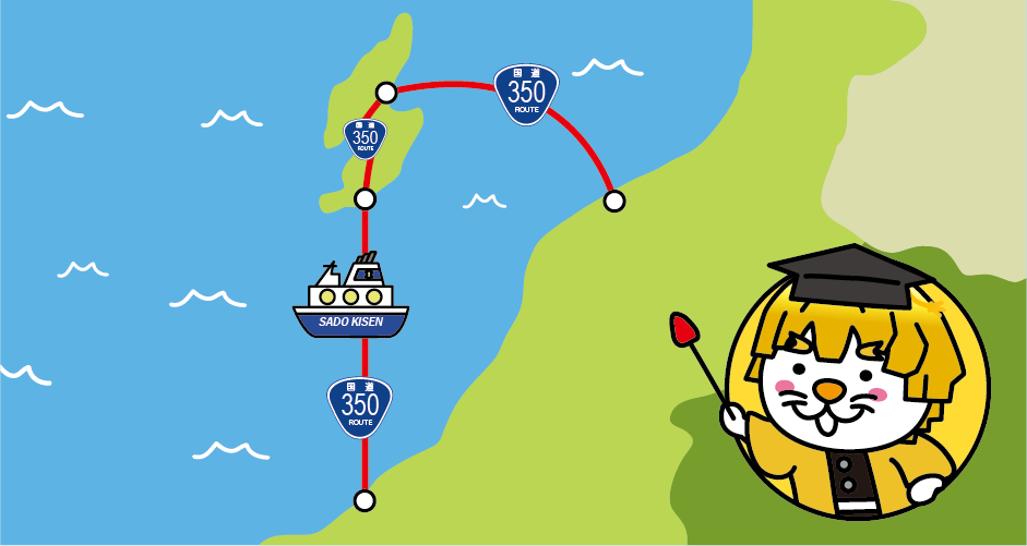
Access to Sado Island is provided by car ferries and jet foils operated by Sado Steam Ship, with routes connecting Niigata Port (Niigata City, Niigata Prefecture) to Sado Island (Ryotsu Port) and Naoetsu Port (Joetsu City, Niigata Prefecture) to Sado Island (Ogi Port), respectively. Incidentally, the marine section from Niigata Port to Ryotsu Port and the marine section from Naoetsu Port to Ogi Port are designated as National Route 350 (commonly known as “Marine National Route”).
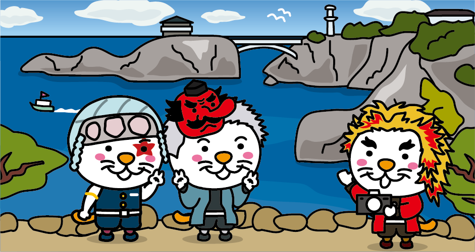
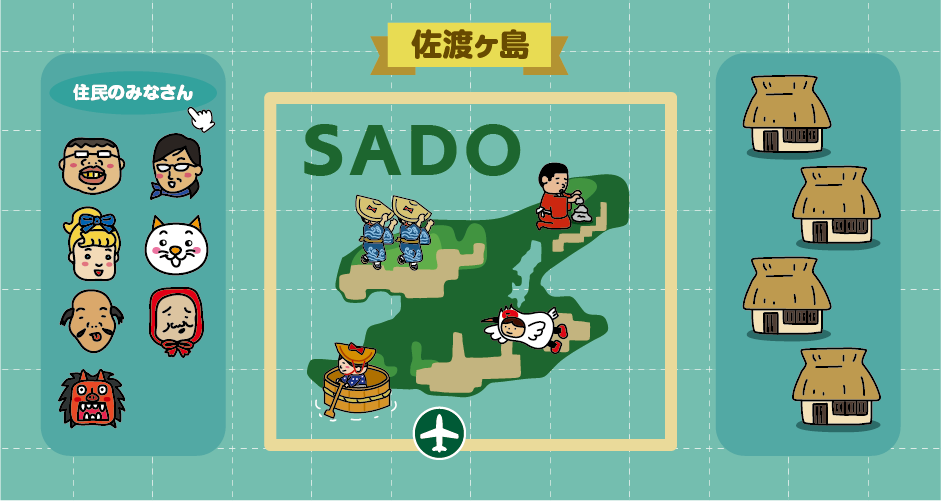
Sado Island is shaped like the letter “S” of the alphabet. The northern part is called “Osado,” the southern part is called “Kosado,” and the area in between is called “Kuninaka”. The 50-km-long Sotokaifu Coast, located to the north of the “Osado” area, is Niigata Prefecture’s most scenic area, with unique rocks and landscapes created by erosion by the rough waves of the Sea of Japan, and is designated as a national scenic spot. The view of “Senkaku Bay” is especially recommended.
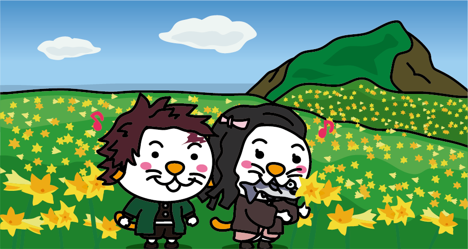
A latitude of 38 degrees north is considered the boundary line between the northern and southern limits of Japanese plants. Sado Island is located at a latitude of 38 degrees north, making it a rare island where plants from the northern and southern limits coexist. More than 1,500 species of plants grow naturally on Sado Island. Trekking up Mt. Donden and walking around huge rock “Onogame” are very popular.
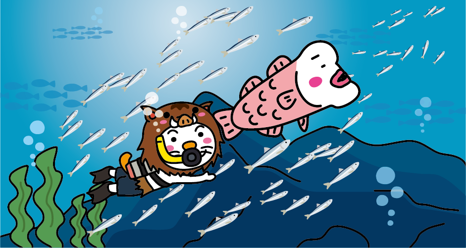
The ocean around Sado Island is also rich in fish species due to the influence of both warm and cold currents. Water sports such as scuba diving and water bikes are very popular in the area.
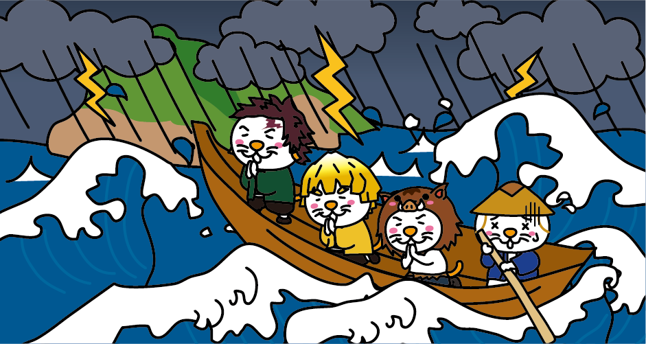
Sado Island has a long history and appears in the myth of the “birth of the nation” in Japan’s oldest historical book, Kojiki “Records of Ancient Matters”, as one of the important islands that make up Oyashima (the name of Japan during the period of Japanese mythology). In the 7th century, Sado Province was established under the Ritsuryo system, and it was also designated as a place of exile. From ancient times to the Middle Ages, emperors, aristocrats, priests, and cultural figures who were defeated in political disputes were “Shima-Nagashi (banished)” to Sado Island. In the “Kuninaka” and “Kosado” areas, there are many relics and legends of Emperor Juntoku and Saint Nichiren, who were “Shima-Nagashi (banished)” to the island in the Kamakura period (13th century).
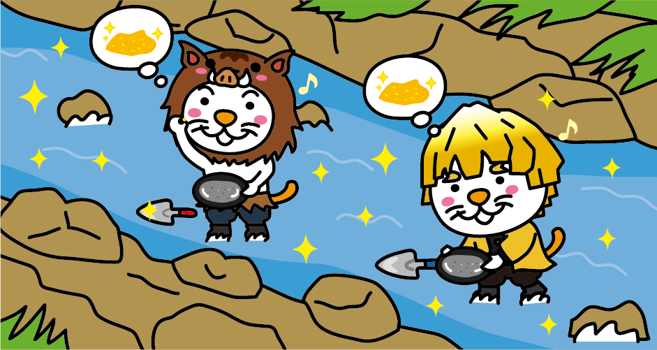
There are 55 mines (gold and silver mines) on Sado Island, but Nishimikawa Placer Gold Mine is the oldest gold mine on Sado Island, as recorded in the Konjaku Monogatari (Japanese Tales from the Past) from the late Heian period (12th century). Nishimikawa Placer Gold Mine has a theme park “Nishimikawa Gold Park” where visitors can try mining for gold dust.
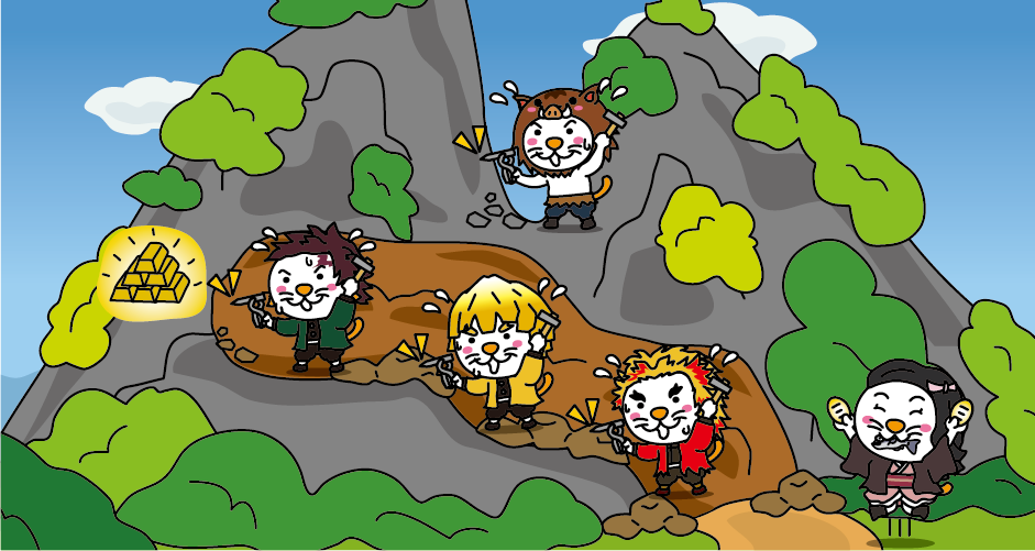
When the Sado Gold Mine (Aikawa Gold and Silver Mine) was discovered at the beginning of the Edo period (17th century), the Edo shogunate placed Sado Island under its control (imperial fief) and conducted gold and silver mine development, and the mined gold and silver supported the Edo shogunate’s finances. Part of the tunnels of the Sado Gold Mine is open to the public as the “Historic Site: Sado Gold Mine,” and visitors can see a recreation of mining operations in the Edo period.
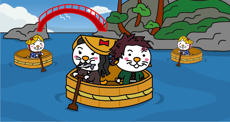
The Ogi Coast in the southern part of Sado Island has many rocky reefs and shoals, making shore fishing impossible with ordinary boats. Therefore, fishermen use flat, shallow-bottomed “Tarai boat” for fishing. Visitors can try boarding Tarai boats at Ogi Port and “Shukunegi” village.
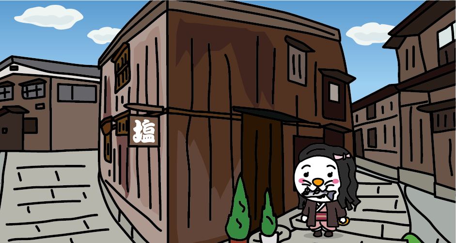
Shukunegi is a village that prospered through the trade of Kitamae-bune “northern-bound ships” from the mid-Edo period to the Meiji period. Kitamae-bune shipowners and ship carpenters gathered there, so the “triangular house” made with shipbuilding techniques and the shipowner’s house with its luxurious indoor lacquered structure in contrast to its simple exterior are open to the public. In the “Sengoku-bune Exhibition Hall,” a 24-meter-long Sengoku-bune manufactured based on drawings from the Edo period is on display.
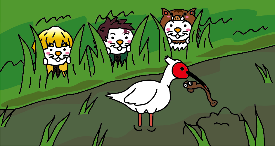
Sado Island is the last place in Japan where the Japanese crested ibis (Toki), an internationally protected bird, lived. The Japanese crested ibis became extinct in 2003, but since 1999, artificial breeding of Japanese crested ibis donated by China has been conducted at the Sado Japanese Crested Ibis Conservation Center. Visitors can observe the real crested ibis at the Toki Forest Park. Since the release of the Japanese crested ibis in 2008, they can sometimes be seen preying in the rice paddies of Sado Island.

There are so many different types of performing arts on Sado Island that it is often called “the island of performing arts”. Traditional performing arts such as “Takigi Noh and Kyogen,” “Tsuburosashi” (Kagura), “Noroma Ningyo” (Ningyo Joruri), “Ondeko” and “Sado Okesa” developed uniquely on Sado Island, and retaining their original forms without mixing with other areas because of the island’s remote location, are still being passed down today.
Access to Sado Island
From Tokyo
It takes about 2 hours from JR Tokyo Station to JR Niigata Station by Joetsu Shinkansen. It takes about 15 minutes by local bus from JR Niigata Station to Niigata Port.
From Osaka
It takes about 1 hour from Itami Airport to Niigata Airport. It takes about 25 minutes by shuttle bus from Niigata Airport to Sado Kisen Niigata Port Terminal.
From Sado Kisen Niigata Port Terminal to Sado Kisen Ryotsu Port Terminal, it takes about 1 hour by jetfoil and about 2 hours and 30 minutes by car ferry.



You need to login to comment on an article.