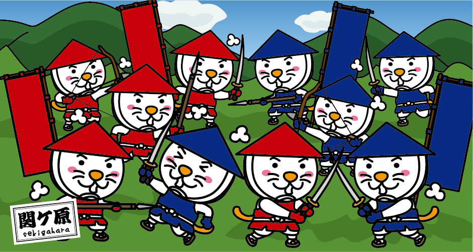
Sightseeing spots in Sekigahara Town, Gifu Prefecture
Sekigahara is the place where fateful decisive two battles were fought in 672 and 1600.
Sekigahara Town in Gifu Prefecture is the place where fateful decisive two battles were fought. One of the battles was a fierce battle between the younger brother of Emperor Tenchi, Prince Oama, who carried out a political reform known as the Taika Reform, and the son of Emperor Tenchi, Prince Otomo, over the succession to the throne. In 672, the Jinshin War broke out. The other is the “Battle of Sekigahara” in 1600, which is said to be the largest during the Warring States period, fought by the Western Army led by Mitsunari Ishida and the Eastern Army led by Ieyasu Tokugawa.
Sekigahara is the boundary between “Eastern Japan” and “Western Japan”
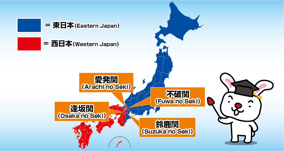
“Seki” in Sekigahara means a checkpoint, and Prince Oama (later Emperor Tenmu), who won the Jinshin War, built the “Fuwa no Michi” in 673 to protect the capital. Fuwa no Michi is the current Nakasen-do Road (also known as Tozan-do Road). “Fuwa no Seki Barrier” is located across the Nakasen-do Road from Fuwanoseki Museum. Fuwa no Seki Barrier is one of the Three Ancient Checkpoints along with Suzuka no Seki Barrier (Mie Prefecture) on the Tokai-do Road and Arachi no Seki Barrier (Fukui Prefecture) on the Hokuriku-do Road, but All the Three Checkpoints were abolished in 789, as they would interfere with traffic. (Even after the Tree Checkpoints was abolished, it was closed in times of emergency until the Edo period (17th century). In 810, Arachi no Seki Barrier was abolished and Osaka no Seki Barrier (Shiga Prefecture) was established.) At that time, in the Kinai region (Nara Prefecture, Kyoto Prefecture, and Osaka Prefecture), the area on the east side of the Three Checkpoints (Fuwa no Seki, Suzuka no Seki, and Arachi no Seki Barriers) were called “Kanto*.” (“Kanto” means the east side of word “Seki” in Japanese.) Currently, the area is divided into “Eastern Japan” and “Western Japan” after the Three Checkpoints. (There are multiple divisions between east and west in Japan, and the boundaries differ slightly depending on the geology, structure, history, geography, culture, etc. of the Japanese archipelago.) *”Kansai” as opposed to “Kanto” refers to the area west of Fuwa no Seki, Suzuka no Seki, Arachi no Seki or Osaka no Seki Barriers. Since it is not an administrative division, its scope is ambiguous and may refer to Western Japan broadly. In the Meiji era (mid-19th century), after the imperial palace was moved to Tokyo, “Kansai” became popular as an alternative word to “Kinai” and “Kamigata”.
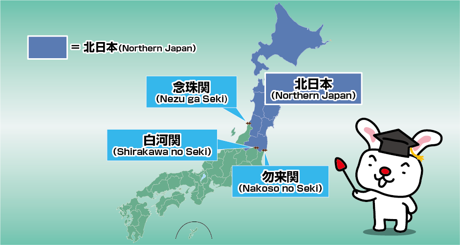
By the way, from the 8th century to the 12th century, in the Tohoku region, in order to prevent Emishi (people who resisted the Yamato Imperial Court) from advancing southward and to control the traffic of goods, “Nezu ga Seki” Barrier (Yamagata Prefecture), “Shirakawa no Seki” Barrier (Fukushima Prefecture) and “Nakoso no Seki” Barrier (Fukushima Prefecture) were established and called the “Three Checkpoints of Ou”. The Tohoku region is located in “Eastern Japan”, but in meteorology and historical geography, the area north of the “Three Checkpoints of Ou” is divided into “Northern Japan”.
Highlights of Sekigahara Town
Mt. Momokubari
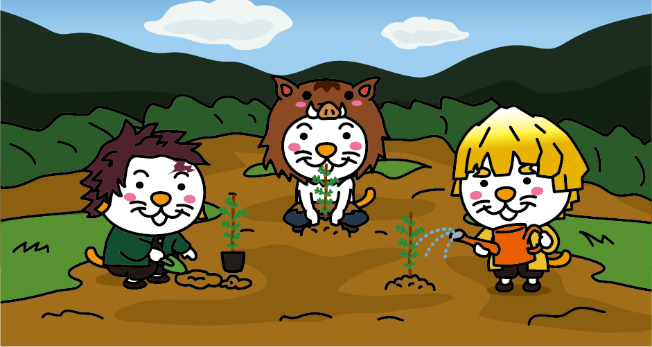
During the Jinshin War, Prince Oama set up a temporary palace (Nogami Angu*) on a hill with a good view near Mt. Momokubari. There is an anecdote that Prince Oama defeated Prince Otomo by handing out mountain peaches to the soldiers, which is the origin of the name Mt. Momokubari. “Momokubari” means handing out peaches in Japanese. Tokugawa Ieyasu took advantage of this good omen and set up his first camp on Mt. Momokubari during the Battle of Sekigahara. *Angu is a temporary palace set up at the destination of the emperor’s visit.
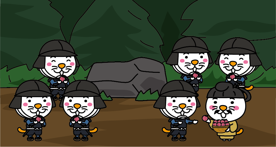
Jigaimine no Sanbonsugi
There is a small mountain near the Fuwaseki Museum called JIgaimine. The “Jigaimine no Sanbonsugi (Three Japanese Cedars of Suicide Peak)” is said to be the head of Prince Otomo, who was defeated in the Jinshin War and committed suicide, and the Three Japanese Cedars are said to be his marker. Prince Otomo, who was cornered by Prince Oama, committed suicide at Mt. Nagara in Otsu City, Shiga Prefecture. It is said that the head of Prince Otomo was brought to Nogami Angu by a military commander on the side of Prince Oama, and after the head was inspected, the local people received it and buried it.
Sekigahara ancient battlefield
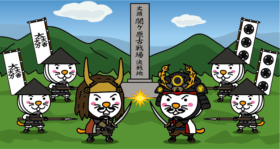
In 1600, Sekigahara was the site of a “battle” between 80,000 Eastern troops led by Ieyasu Tokugawa and 90,000 anti-Tokugawa forces led by Mitsunari Ishida. After this “Battle of Sekigahara“, Ieyasu Tokugawa seized the world, so it is said to be the “Fateful Decisive Battle”. There are many historic battlefields such as the “decisive battlegrounds” and “Mitsunari Ishida’s camp site“. For those who want to learn about the history of the Battle of Sekigahara, we recommend the Gifu Sekigahara Battlefield Museum.
Sekigahara War Land
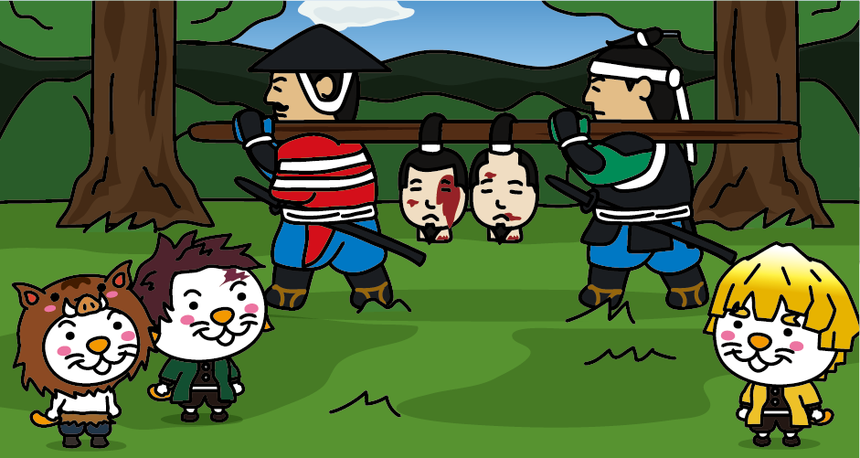
“Sekigahara War Land” is a theme park that recreates the Battle of Sekigahara in a humorous and historically based manner using more than 200 concrete statues on a site of 30,000 square meters.
Access to Gifu Sekigahara Battlefield Museum
From Tokyo
It takes about 2 hours from JR Tokyo Station to JR Nagoya Station by Tokaido Shinkansen. Transfer to a local train on the JR Tokaido Main Line at JR Nagoya Station, and it takes about 50 minutes from JR Nagoya Station to JR Sekigahara Station.
From Osaka
It takes about 30 minutes by Tokaido Shinkansen from JR Shin-Osaka Station to JR Maibara Station. Transfer to the JR Tokaido Main Line Special Rapid at JR Maibara Station and it takes about 20 minutes to get to JR Sekigahara Station. About 10 minute-walk from JR Sekigahara Station.


You need to login to comment on an article.