Ohachi Meguri trekking course of Mt. Azuma-kofuji in Jododaira
When going around in a circle of Mt. Azuma-Kofuji, an idea came up to my mind. “A crater on Mars should be similar to this mountain!” I visited Jododaira in Fukushima Prefecture, where you can feel the universe!
“Jododaira” (elevation 1600m) in Fukushima City, Fukushima Prefecture, is located at the midpoint of sightseeing mountain road, the Bandai Azuma Skyline. It is an hour’s drive from downtown Fukushima. The area surrounded by mountains such as Mt. Issaikyo (elevation 1949m) in the eastern part of the Azuma mountains and Mt. Azuma-kofuji (elevation 1707m) has a variety of beautiful landscape, including a volcanic land created by the volcanic eruption of Mt. Issaikyo, ancient forest of conifers called Aomoritodomatsu (Abies Mariesii) and marshland with many swamps.
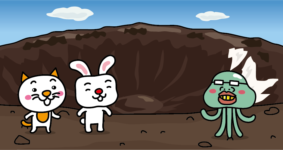
Mt. Azuma-kofuji has this name because it looks like Mt. Fuji when seeing from the Fukushima city side of the mountain foot. You can reach the summit in about 10 minutes from the Jododaira parking lot, and its peak has a large crater that looks like a mortar. The view of the impressive 500m diameter of the crater looks like a crater on Mars. A trekking course called “Ohachi Meguri” will take about an hour, even if you walk slowly.
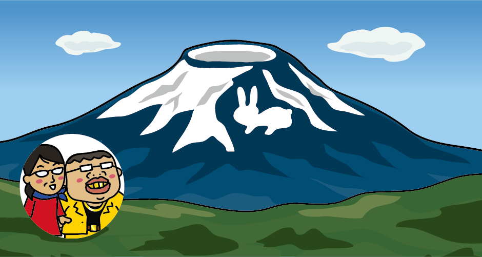
In early spring, the snow remains on the surface of the Mt. Azuma-kofuji looks just like a “rabbit.” When this “Snow rabbit” appears, farmers will start sowing, and the Bandai Azuma Skyline toward Jododaira will open again. The winter closure of Bandai Azuma Skyline will be from mid-November to early April.
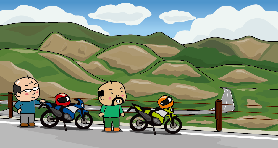
Bandai Azuma Skyline is a 29km sightseeing mountain road run from Takayu Onsen to Tsuchiyu Pass. When going through the mountain of the Azuma mountains, you can see beautiful views along the way, such as a devastating plateau, mountains, and valleys by a volcano.
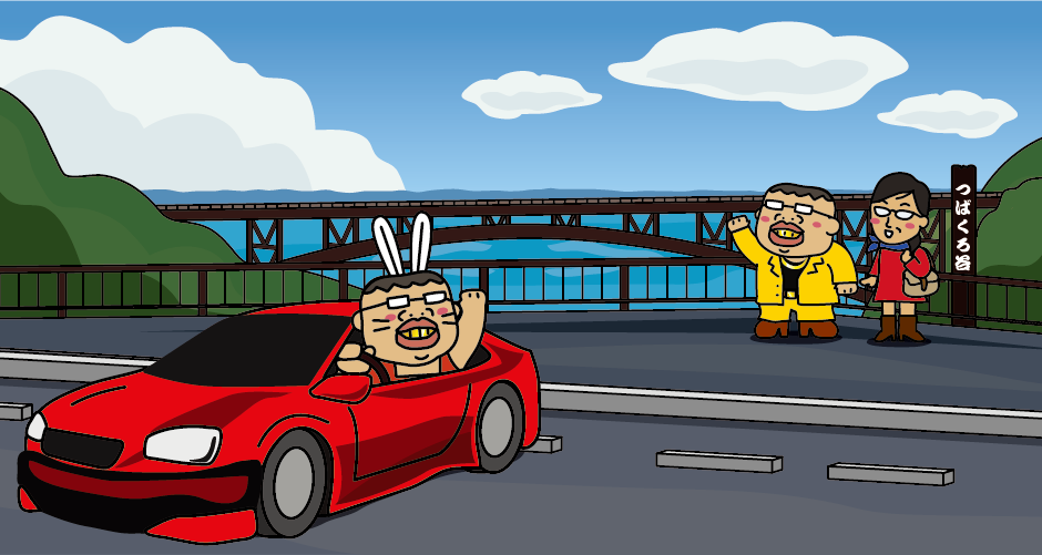
“Fudosawa Bridge” is a bridge built on “Tsubakuro Valley,” a scenic spot of Bandai Azuma Skyline. The depth from Fudosawa Bridge to the bottom of the valley is 84m. On sunny days, you can overlook the city of Fukushima from this bridge. The autumn leaves are wonderful, and you cannot miss it. By the way, “Tsubakuro Vally” is named after the swallows (Tsubakuro) fly around the valley.
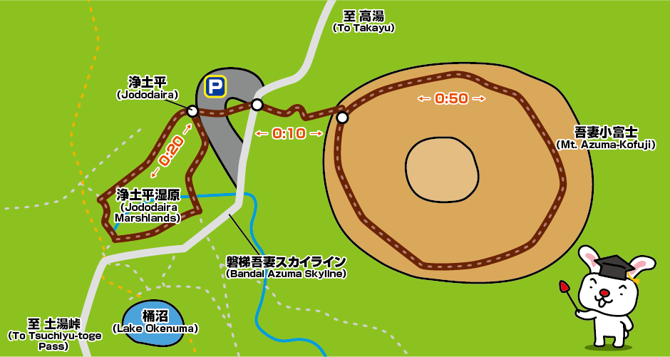
There are some wetlands in Jododaira, such as “Jododaira,” “Ubagahara,” “Sugadaira,” “Yajidaira,” and “Keibadaira.” A wooden road for wheelchairs is prepared in Jododaira Marshlands, and you can smoothly go around in 20 minutes.
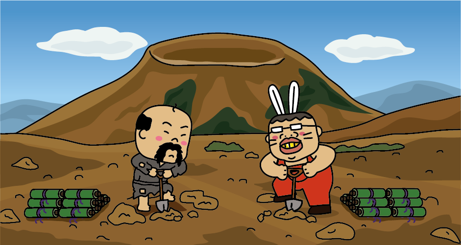
There is a legend that Kobo Daishi buried the Buddhist scriptures of Issaikyo (Issai Sutra) in the Mt. Issaikyo. This is the origin of the mountain’s name. Looking up from the Visitor Center, You can see an impressive contrast of reddish-brown, rough rocky pebbles and the white smoke billowing out of the mountain. It takes about 90 minutes to climb from Jododaira to Mt. Issaikyo, and you can enjoy a stunning view of a crater of Mt. Azuma-kofuji from the middle of the mountain road.
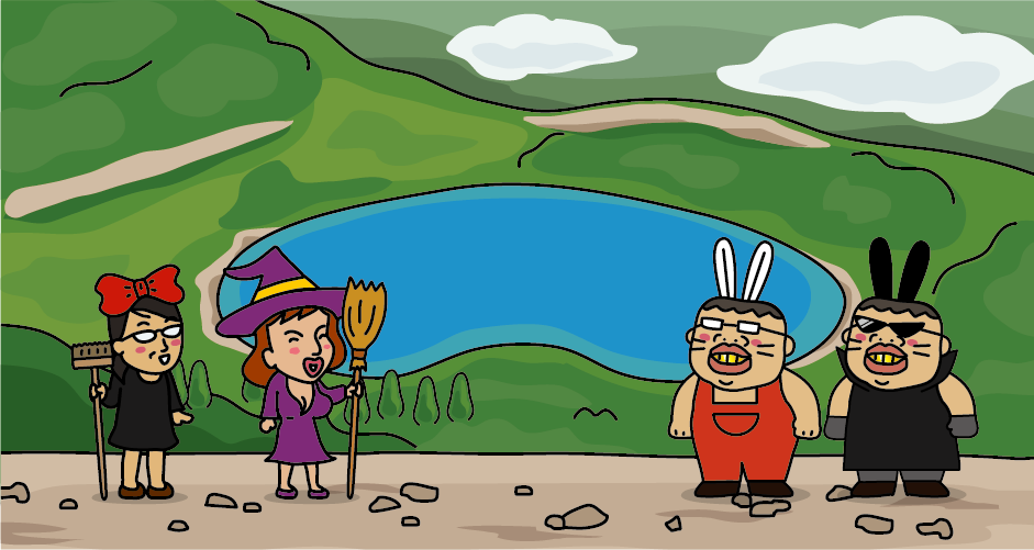
When you see Lake Goshikinuma from the summit of Mt. Issaikyo, the color of the whole swamp will be cobalt blue. As the light of the sun changes, it also changes colors. It is the reason why this swamp is called “witch’s eyes.” This Lake Goshikinuma is a different one from the Goshikinuma swamps in Urabandai.
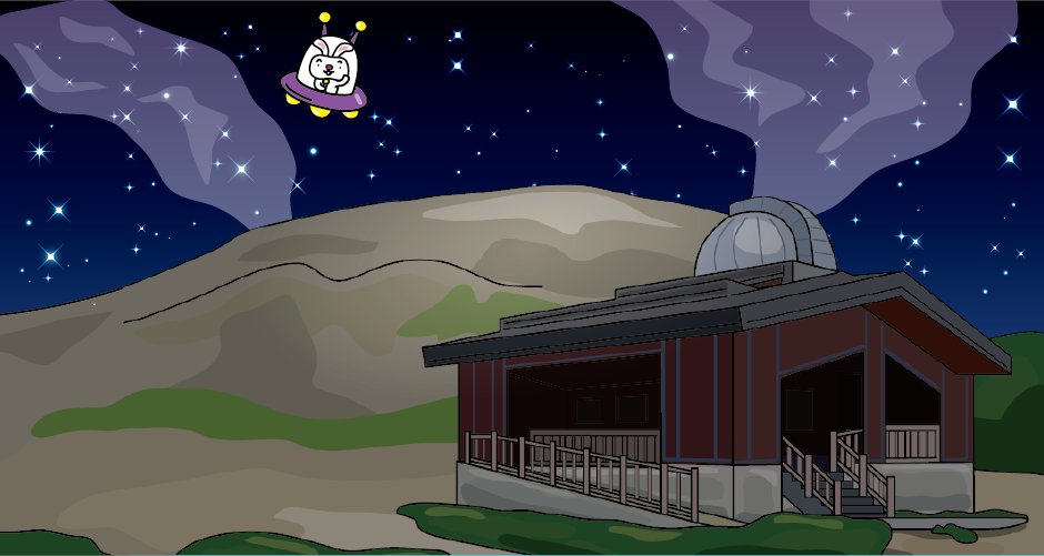
There is an astronomical observatory in Jododaira. It is a public astronomical observatory located at the highest place in Japan (elevation 1600m.) The air is clear, and there is no light pollution. It is also famous for its beautiful stars. So, this is a very popular place for astronomy enthusiast.
Access to Jododaira Visitor Center
It takes about 1 hour and 30 minutes from JR Tokyo Station to JR Fukushima Station by Tohoku Shinkansen. It takes about 1 hour and 30 minutes by bus from Fukushima Station West Exit Bus Terminal to Jododaira Bus Stop, 2 buses per day. (Bus service suspended at present) About an hour by car from JR Fukushima Station to Jododaira.





You need to login to comment on an article.